
Amari Valley Park

Rules
Description
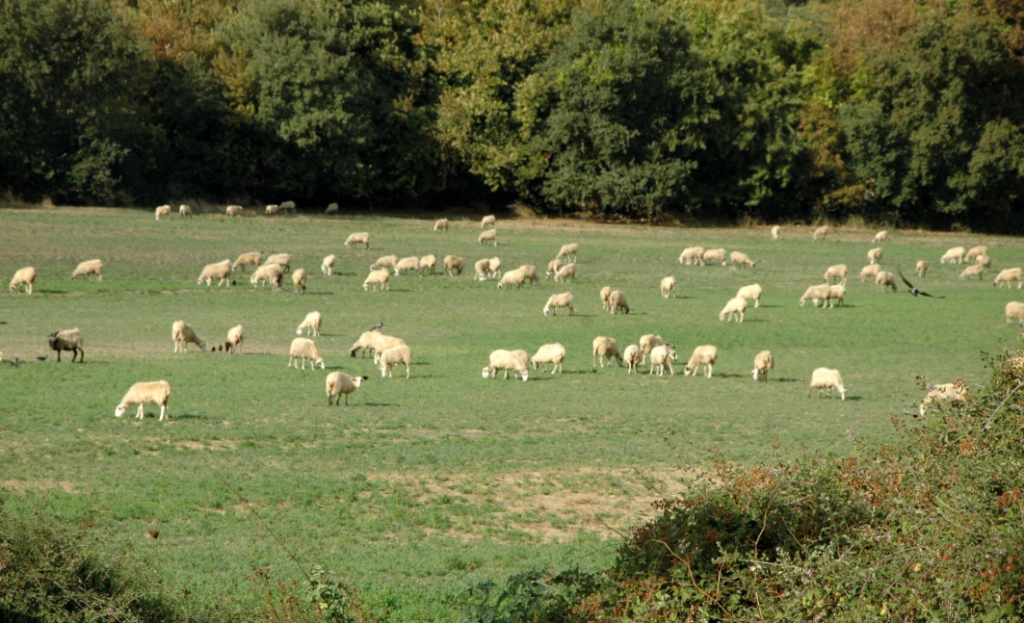
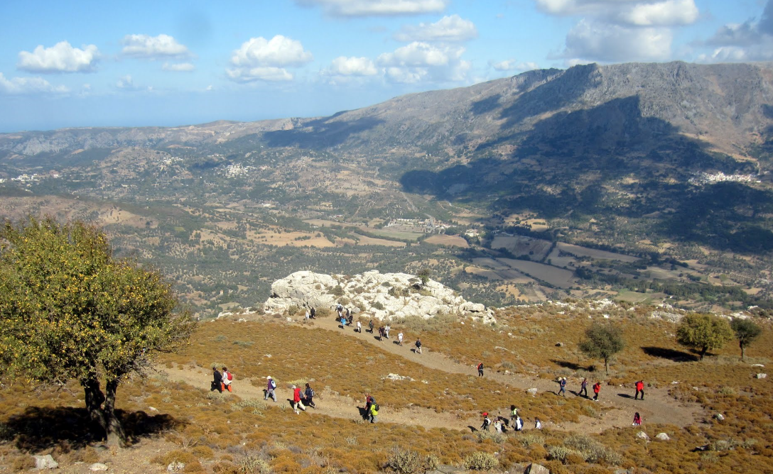
Amari valley is formed between the ranges Kedros and Psiloritis, with altitude fluctuating from 400 to 500m and is 25km long. It is the natural passage from the north prefecture of Rethymno to the south and Messara Plain. For its strategic location, it was the theater of several historical events, especially during the Ottoman rule. The valley is adorned with picturesque villages, with the largest being Fourfouras.
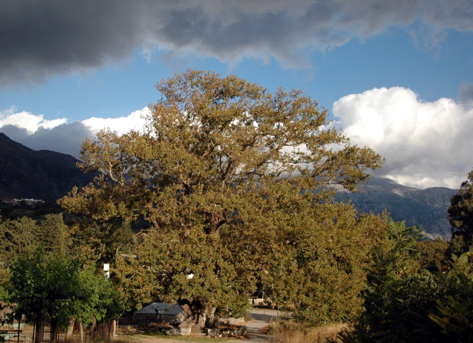
Amari is one of the areas of Crete with the most rainfalls; indeed its name is taken after amara that it an ancient greek word for a water channel. Platys River starts from Amari and exits in Agia Galini, while there is one of the largest dams in Crete, the dam of Potami. Byzantine churches, Minoan settlements and wild mountains are dispersed throughout the entire county. The gorge of Patsos with the cave of Saint Anthony, the ancient town of Sivrytos, the monastery of Asomati, the Minoan settlements in Monastiraki and Apodoulou are the most famous sights of Amari.
- Ideal for
- Accessible by